South Yuba River State Park is a popular destination situated on the Yuba River in California’s Sierra Nevada Mountains. The park offers visitors scenic vistas and an abundance of outdoor adventures.
The park features nearly 20 miles of Gold County from Malakoff Diggins State Historical Park to the banks of the Yuba River. Visitors can enjoy swimming, hiking, and exploring the trails leading to historic mining sites, panning for gold and gorgeous wildflowers in the spring.

Hiking Trails
Venturesome hikers can explore more than a dozen trails ranging from easy to strenuous, which meander through the deep, rugged canyons covered in black oaks, gray pine, and Douglas-fir, including the first wheelchair-accessible wilderness trail in the country.

Independence Trail
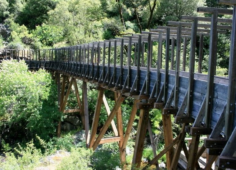
Jointly owned by the California State Parks and a non-profit organization, the Sequoya Challenge, the once-historic aqueduct has been modified to enable wheelchair users and hikers. The trail is two miles through forests and over rocky outcrops to view waterfalls and mountain streams that feed emerald swimming holes during the summer months.

South Yuba River State Park Swimming Holes
While swimming is not recommended in cold, fast-moving water, swimming in the calm waters of the family beach area is perfect for everyone. On Pleasant Valley Road, the beach and shore can be accessed near the historic Bridgeport Covered Bridge, off Highway 20, east of Marysville.

Bridgeport Covered Bridge
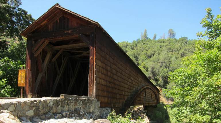
For visitors that want to stay dry, watching the river’s power and serenity from the windows of the Bridgeport Covered Bridge is a great way to spend the day. The colossal bridge dates back to the 1860s and is considered the longest existing single-span covered bridge in the United States.

Wildflowers
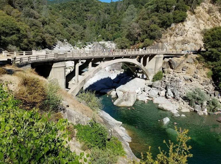
The most impressive season to visit South Yuba River State Park is spring when the winter snowmelt roars over massive granite boulders. The melting snow also provides the necessary life-giving water for a magnificent display of wildflowers. Visitors can take free guided walks on Saturdays and Sundays from early March through mid-May.
And while visitors enjoy looking at the flowers, bird watchers can spot Canyon wrens, spotted towhees, American dippers, acorn woodpeckers, and ruby-crowned sparrows. Bring binoculars and hiking shoes for spring and fall guided bird walks.

Park Animal Life
South Yuba River State Park is not just an avian paradise; the occasional black bear, coyote, and mountain lion often roam the park searching for deer, other small game, and fish. The same fish sought by the many anglers flock to South Yuba River State Park year after year.

South Yuba River State Park Fishing
Fishing in the park is popular once the spring runoff has subsided and the river level drops. Fishing in the area requires a license and is best from Rush Creek, located about 1.1 miles west of the trailhead for the Independence Trail. A valid California fishing license is required for anyone over sixteen.

Park History
Finally, there are numerous historic sites scattered throughout the park for history buffs, including the Bridgeport Mining Camp, which once served as a stage stop and ranch, and the landmark fording spot at Hoyt Crossing.

Getting to South Yuba River State Park
While remote segments of the park are only accessible from Edwards Crossing, Purdon Crossing, and Highway 49, South Yuba River State Park headquarters is located in Bridgeport and can be accessed from Highway 20, west of Grass Valley, or Highway 49, north of Nevada City. The park is open for day use from sunrise to sunset. Visitors are welcome to search for gold at the park; however, only pans and hands can be used—Park Website.
Leave a Reply